Clearing up after Hindu Kush earthquake
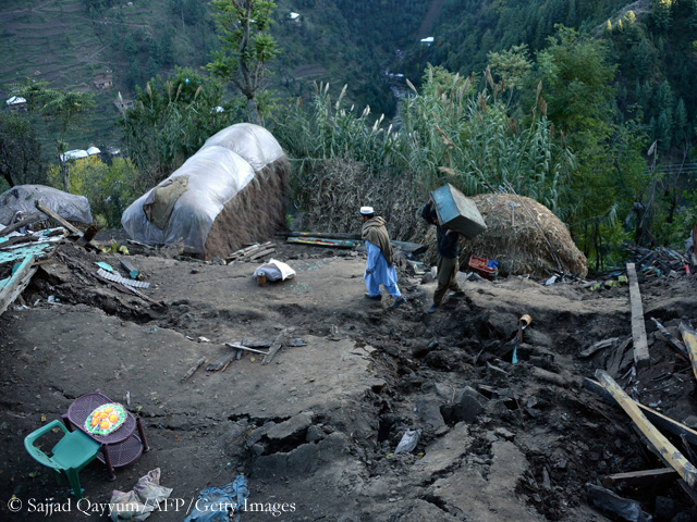
Village of Gandao in northern Pakistan
Again, a mountainous region was hit. Yesterday, nearly half a year after the devastating earthquake in Nepal, which had killed closed to 9,000 people, the earth trembled in northern Afghanistan and northern Pakistan. The number of registered deaths has been rising to nearly 400 so far and reportedly several thousand people were injured. As after the quake in Nepal, the rescue teams have not yet reached many remote mountain valleys in Pakistan and Afghanistan. Roads are blocked by landslides. Along the Karakoram Highway, the main connecting axis to the north, 45 landslides were recorded. Meanwhile more than half of the blocked places have been cleared up again. Landslides were also reported from the area around Skardu, the town that many climbers know because it is the starting point of most expeditions to the Karakoram.
More than 200 km below the mountains
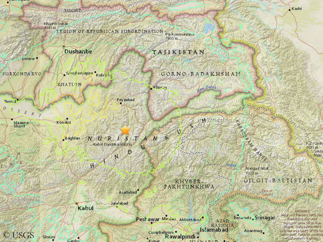
Epicenter of the quake (© USGS)
The US Geological Survey (USGS) and the German Research Centre for Geosciences in Potsdam located the epicenter of the earthquake 212 km below the Hindu Kush Range: in the Afghan province of Badakhshan, about 30 kilometers north of the 6,843-meter-high mountain Kuh-e Bandaka. The USGS stated that the quake was “the result of reverse faulting”, means: a stratum moves up at the edge of another one. The tremors reached a magnitude of 7.5. For comparison: the 25 April earthquake in Nepal was measured 7.8. The tremors were felt in Tajikistan, the western Chinese province of Xinjiang, northern India and Nepal too. It will probably take a few weeks to get an overview of the full extent of damage. My thoughts are with the earthquake-hit people in the mountains of Afghanistan and Pakistan.


![]()