To Everest South Col – if possible
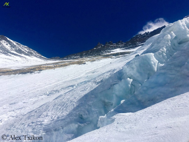
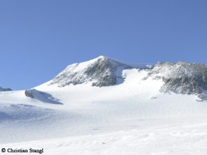
The Lhotse flank
Strange. Since yesterday, Alex Txikon‘s GPS tracker, which is to document his ascent on Mount Everest, has not shown any movement. Lastly, an altitude of more than 6200 meters was displayed. Afterwards nothing. I’ve asked. “Yesterday they [Alex and the Sherpas who accompany him] went up to Camp 2 (6,400 meters), where they have slept,” Gontzal Saenz from the press team of the Basque climber writes to me. According to him, the GPS tracker has not been working correctly and is showing the wrong altitude. “I think they were going to keep climbing up today.” The goal was to prepare the route from Camp 3 at 7,400 meters to Camp 4 on the South Col at 7,950 meters by tomorrow. “The weather forecasts are very bad, with very strong winds, for the next few days,” writes Gontzal. “The plan is to return to the base camp tomorrow [Saturday] and wait there for the weather to improve again.”
Up to 190 kilometers per hour
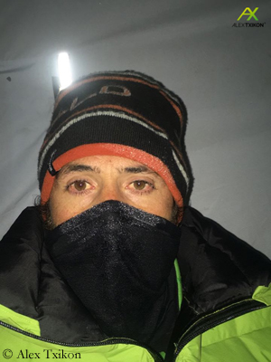
Alex in the tent
That sounds reasonable. On Saturday morning, according to the weather forecast, the wind in the summit area is supposed to calm down to 25 km/h, but from Sunday onwards the weather will most probably turn really bad. Storms reaching hurricane strength with speeds of up to 190 m/h are expected during the next week. Alex and Co. should really sit out this weather in Base Camp. Due to the fact, that Txikon does not use bottled oxygen, he must be double-cautious. The lack of oxygen leads to increased breathing. This causes dehydration, the metabolism hardly works, the extremities are supplied only insufficiently. This increases the risk of frostbite on fingers and toes. If in addition strong wind cools your body, it can be quickly over with your extremities.


![]()