Seattle mapmaker protects local land
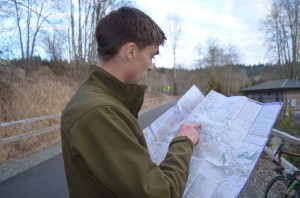
Ben Hughey makes maps. As a kid growing up in Alaska, he used a GPS to hike off-trail. Then, as a college junior, he combined his GPS skills with his mapmaking ability to help three indigenous communities in Ecuador create maps of their lands, which they’ll use to defend themselves against future land incursions.
Now, at age 25, Ben is using mapmaking to try to get people on board land conservation projects in Washington State, in the north-western United States.
Listen to the report by Eilís O’Neill in Seattle:
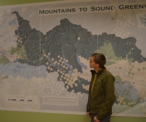
Ben Hughey stands next to the biggest map he’s ever made – a two-meter-tall, five-meter-wide map of the Mountains to Sound Greenway (Photo: E. O’Neill)
Tuesday 18.02.2014 | 13:26


