


Search Results for Tag: ice
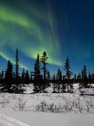
Earth Day, Climate pact signing – and the Arctic?
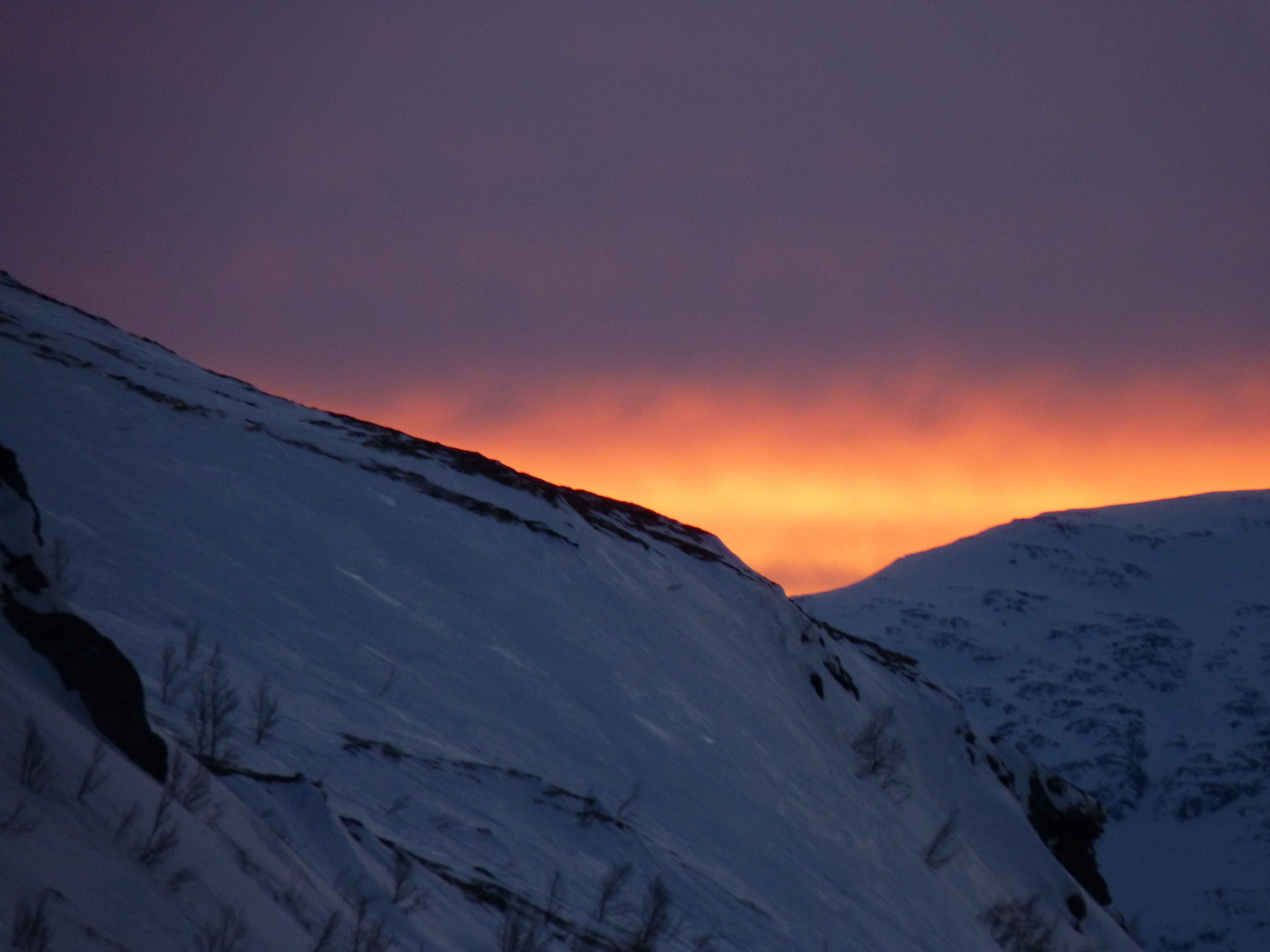
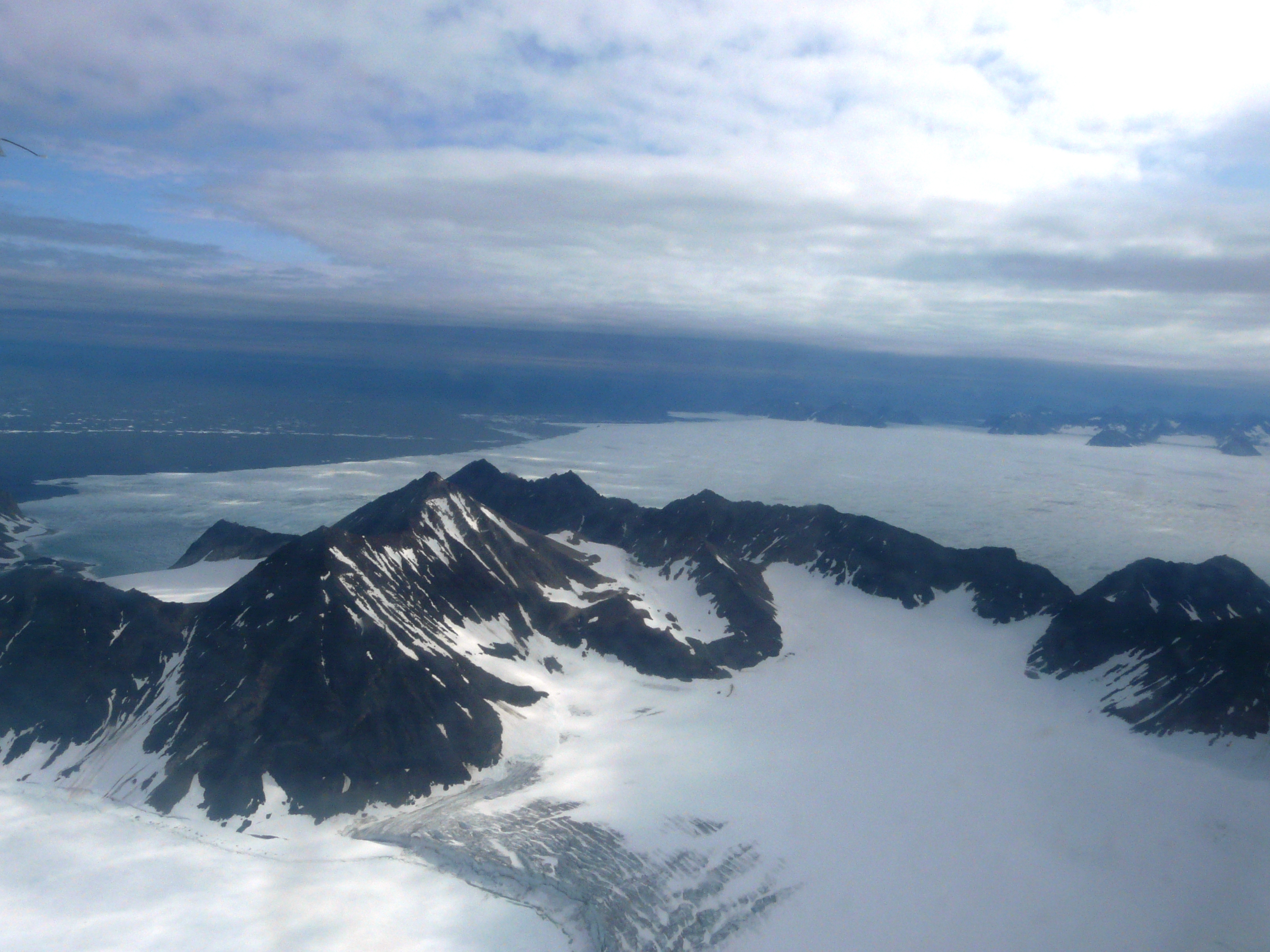
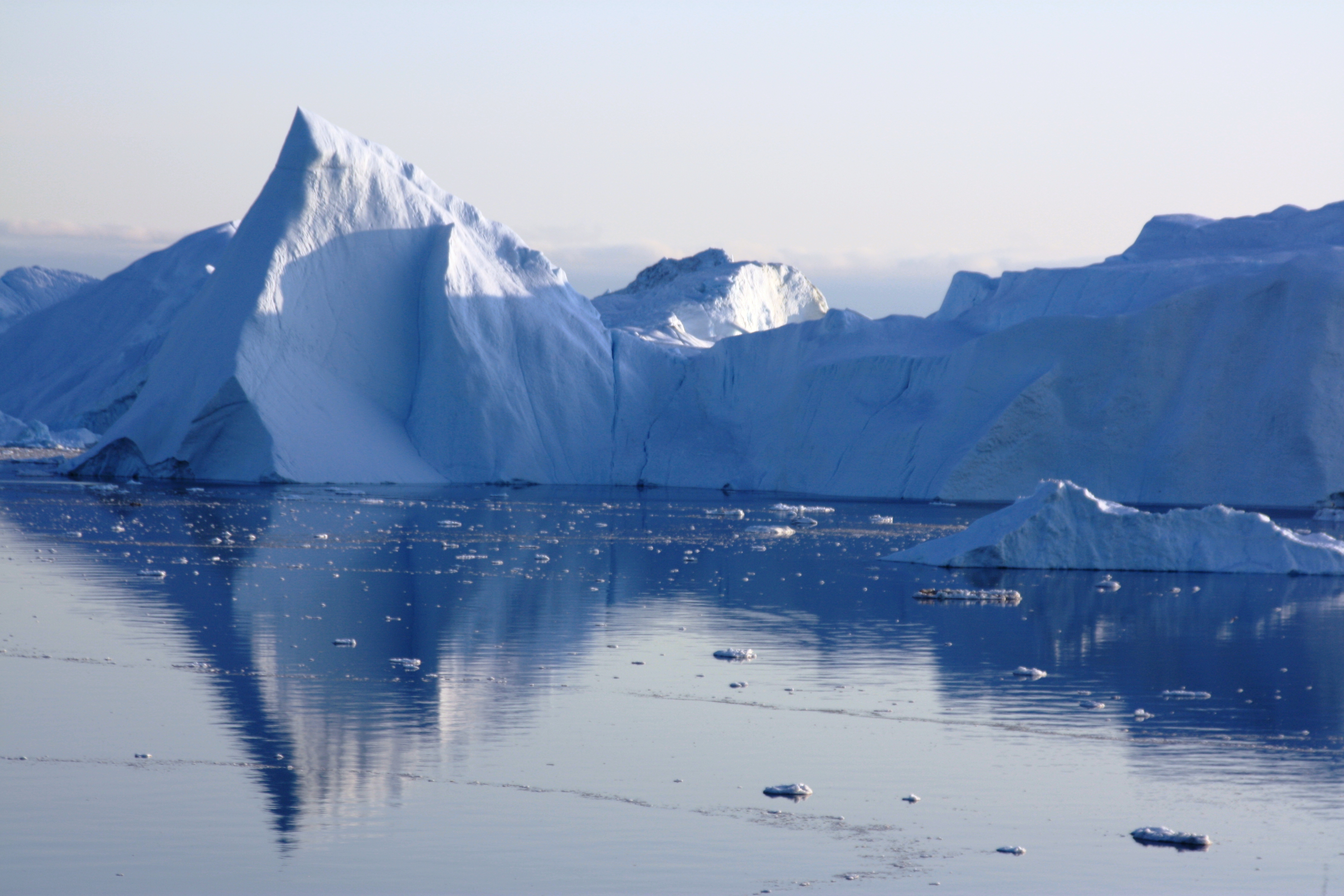
A glimmer of light for the Arctic? (Pic: I.Quaile, Arctic Norway)
How are you feeling this Earth Day? In some ways it could mark a turning point for the planet, with some 165 countries signing the Paris climate treaty at UN headquarters in New York. But, as, always, the proof of the pudding will be in the eating. And so far, I’m not sure it is quite tasty enough.
The trouble is, signing agreements alone is not enough. They have to be turned into action. The world is heating up way too fast, and the transition to an emissions-free world is far too slow. Yes, we can do it, I am convinced. But as well as the political will to sign an agreement, we need the political will to implement measures which will be unpopular with businesses and consumers because they mean major changes to how we work, trade and live.
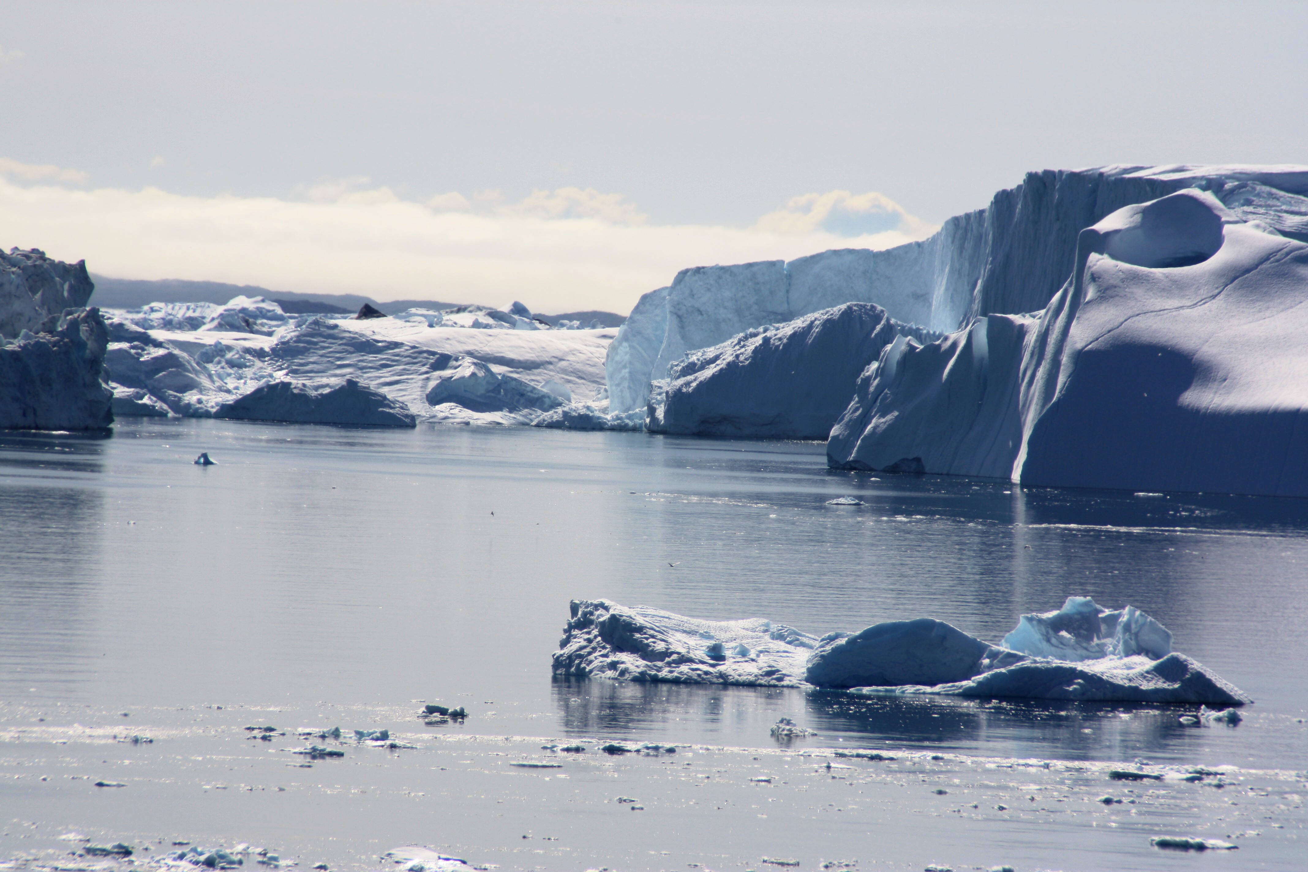
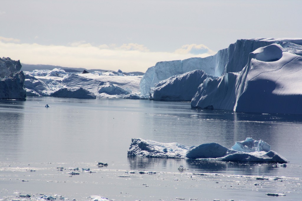
In the meantime, the Arctic is facing a decline in sea ice that could equal or even beat the negative record of 2012.
Sea ice physicists from the Alfred Wegener Institute, Helmholtz Centre for Polar and Marine Research (AWI), have evaluated current satellite data on the thickness of the ice cover. The data show that the Arctic sea ice was already extraordinarily thin in the summer of 2015 and comparably little new ice formed during the past winter. Speaking at the annual General Assembly of the European Geosciences Union in Vienna, AWI sea ice physicist Marcel Nicolaus said data collected by the CryoSat-2 satellite revealed large amounts of thin ice that are unlikely to survive the summer.
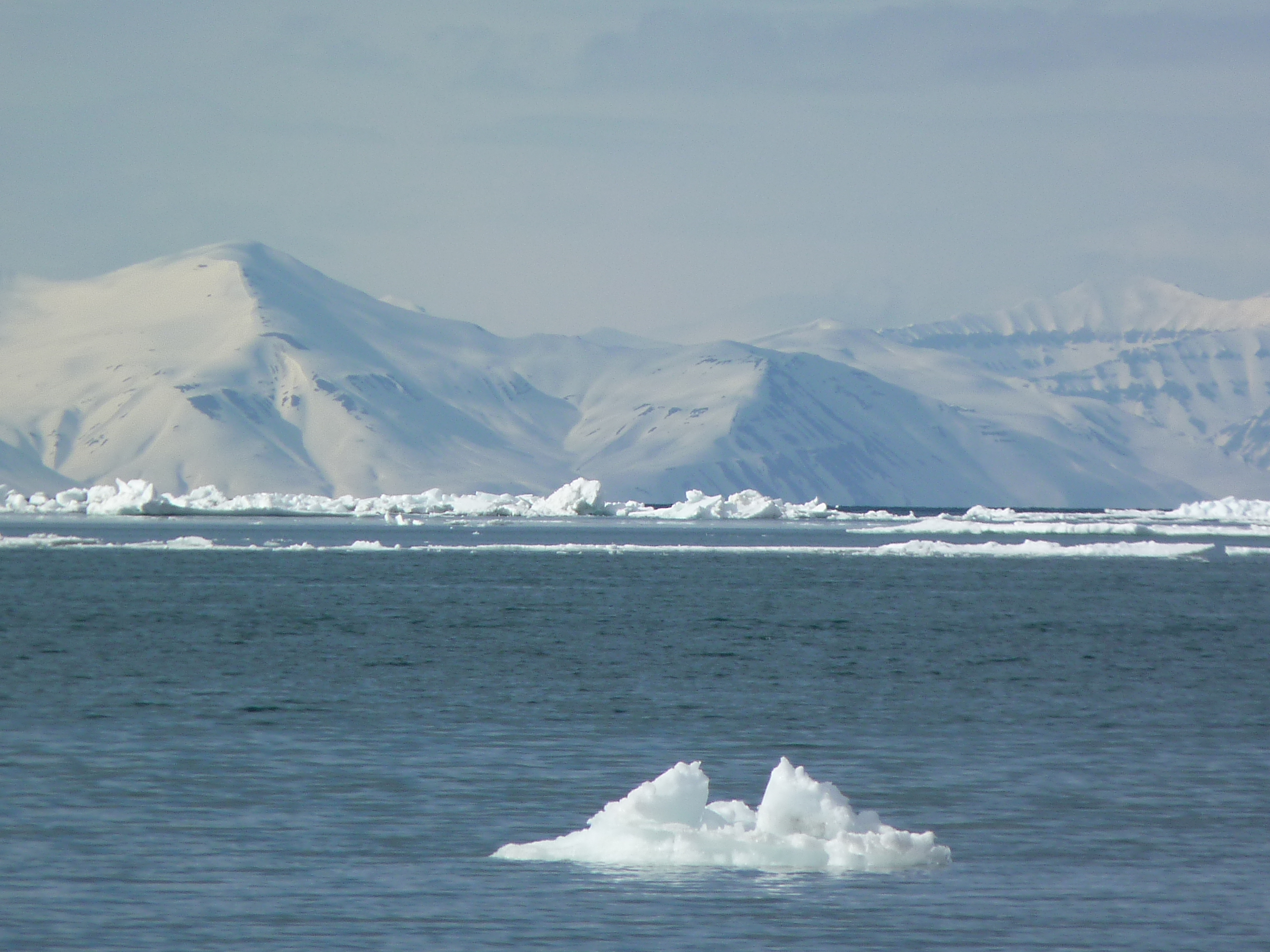
Arctic ice – dwindling away (Pic: I.Quaile)
Hard to forecast
Predicting the summer extent of the Arctic sea ice several months in advance still poses a major challenge to scientists and meteorologists. Between now and the end of the melting season, the fate of the ice will ultimately be determined by the wind conditions and air and water temperatures during the summer months. However, conditions during the preceding winter lay the foundations.The AWI scientists say this spring, conditions are as “disheartening as they were in 2012”, when the sea ice surface of the Arctic went on to reach a record low of 3.4 million square kilometres.
At the end of March, the Arctic sea ice was at a record low winter maximum extent for the second straight year, according to scientists at the National Snow and Ice Data Center (NSIDC) and NASA. Air temperatures over the Arctic Ocean for the months of December, January and February were 2 to 6 degrees Celsius (4 to 11 degrees Fahrenheit) above average in nearly every region.
This year’s maximum winter extent was 1.12 million square kilometers (431,000 square miles) below the 1981 to 2010 average of 15.64 million square kilometers (6.04 million square miles) and 13,000 square kilometers (5,000 square miles) below the previous lowest maximum that occurred last year.
The September Arctic minimum began drawing attention in 2005 when it first shrank to a record low extent over the period of satellite observations. It broke the record again in 2007, and then again in 2012. The March Arctic maximum tended to attract less attention until last year, when it was the lowest ever recorded by satellite.
Ice conditions “catastrophic”
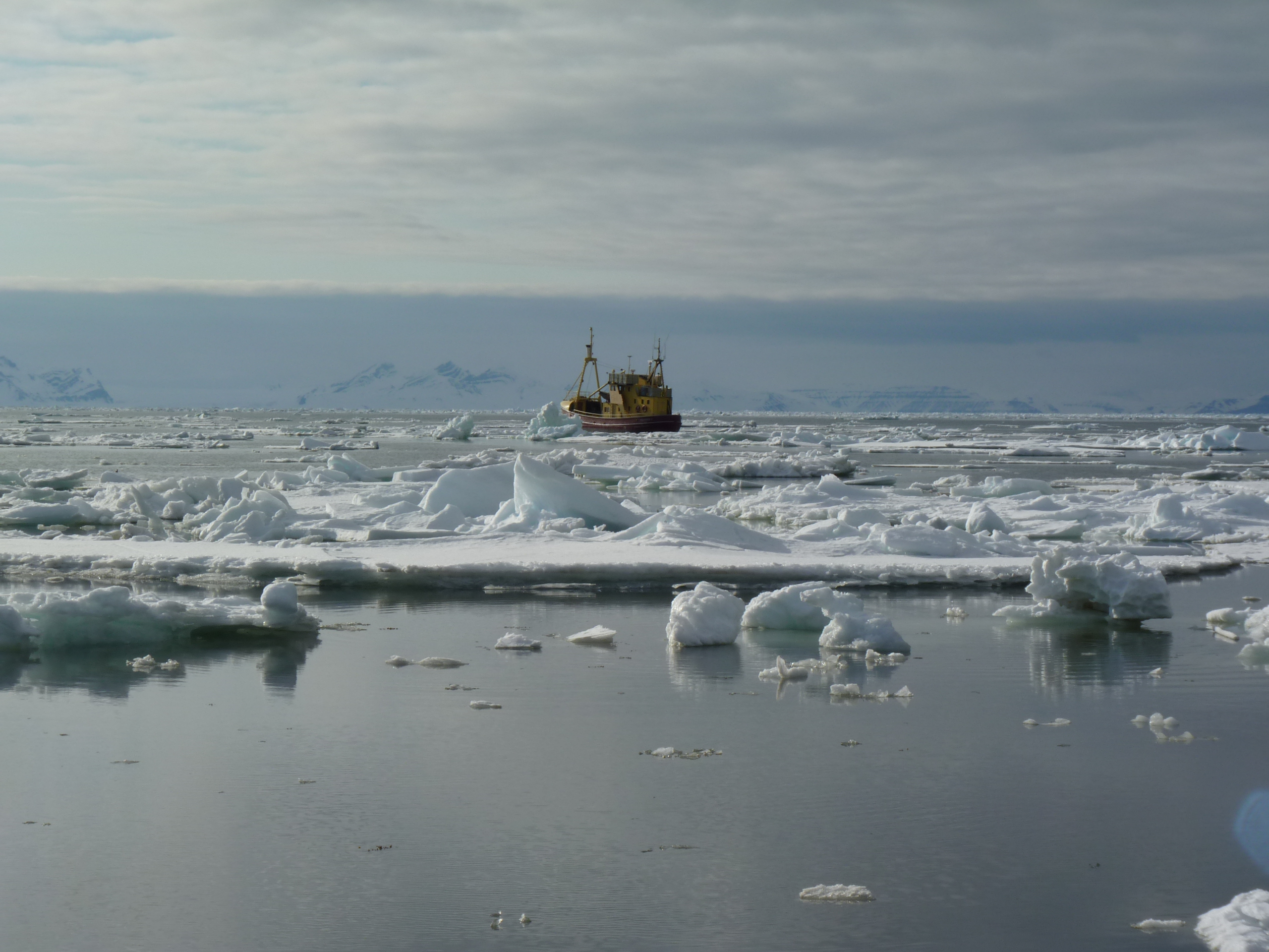
Recently, here on the Ice Blog, I published an account by Larissa Beumer, one of a team of Arctic experts on board the Greenpeace ship the Arctic Sunrise, which has been checking the ice conditions the Arctic archipelago of Spitsbergen. From the ship, she told me the ice conditions were “catastrophic and way outside of normal variations”. She reported transport problems, with many of the usual routes inaccessible by dog sled or snow mobile. She talked of a lack of ice in places where navigation is usually impossibly up to June or July.
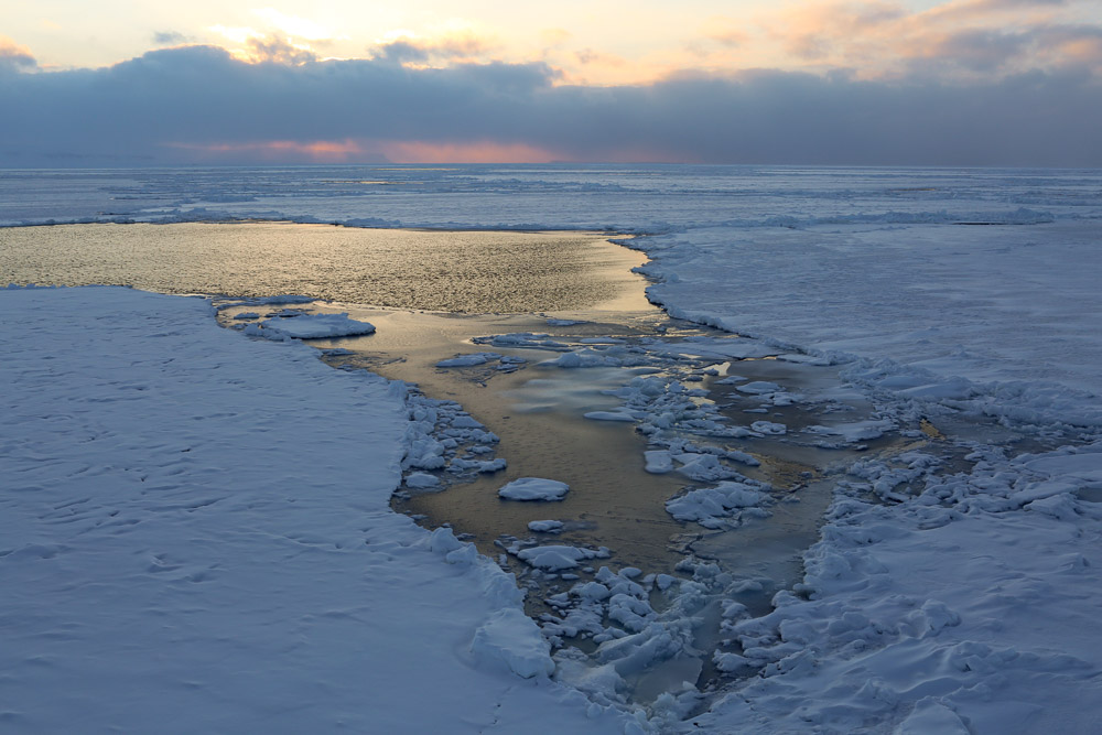
Ice and open water, photographed by Nick Cobbing for Greenpeace, from the Arctic Sunrise, off Spitsbergen.
On thin ice
AWI scientist Marcel Nicolaus says new ice only formed very slowly in many regions of the Arctic, on account of the particularly warm winter.
“If we compare the ice thickness map of the previous winter with that of 2012, we can see that the current ice conditions are similar to those of the spring of 2012 – in some places, the ice is even thinner,” he told journalists at the Vienna Geosciences meeting.
Nicolaus and his colleague Stefan Hendricks evaluated the sea ice thickness measurements taken over the past five winters by the CryoSat-2 satellite for their sea ice projection. They also used data from seven autonomous snow buoys, which they placed on ice floes last autumn. These measure the thickness of the snow cover on top of the sea ice, the air temperature and air pressure. A comparison of their temperature data with AWI long-term measurements taken on Spitsbergen has shown that the temperature in the central Arctic in February 2016 exceeded average temperatures by up to 8 °Celsius.
Too hot for huskies? (Pic: I.Quaile, Greenland)
Breaking ice record
In previously ice-rich areas like the Beaufort Gyre off the Alaskan coast or the region south of Spitsbergen, the sea ice is considerably thinner now than it normally is during the spring. “While the landfast ice north of Alaska usually has a thickness of 1.5 metres, our US colleagues are currently reporting measurements of less than one metre. Such thin ice will not survive the summer sun for long,” Stefan Hendricks said.
The scientists say all the available evidence suggests that the overall volume of the Arctic sea ice will be decreasing considerably over the course of the coming summer. They suspect the extent of the ice loss could be great enough to undo all growth recorded over the relatively cold winters of 2013 and 2014. “If the weather conditions turn out to be unfavourable, we might even be facing a new record low,” Stefan Hendricks said.
So the AWI researchers fear we are going to see a continuation of the dramatic decline of the Arctic sea ice throughout 2016. From that point of view, the signing of Paris climate pact comes way too late. UN Secretary-General Ban ki-Moon is stressing that this can only be the beginning, and that the mammoth task of decarbonising the economy still lies ahead. Here’s hoping the Paris Agreement will not just be a piece of paper which governments use to salve their consciences. Here in Germany, people are concerned that the government will not reach its ambitious climate targets at the present pace. Given that this country has already made remarkable progress in the transition to renewable energy for its electricity production, that is a worrying trend. And other major emitters still have even more to do if that two degree, let alone the 1.5 degrees Celsius limit to global warming is to be more than a very hot piece of pie in the steadily warming sky.


![]()
Arctic off limits for giant trawlers?
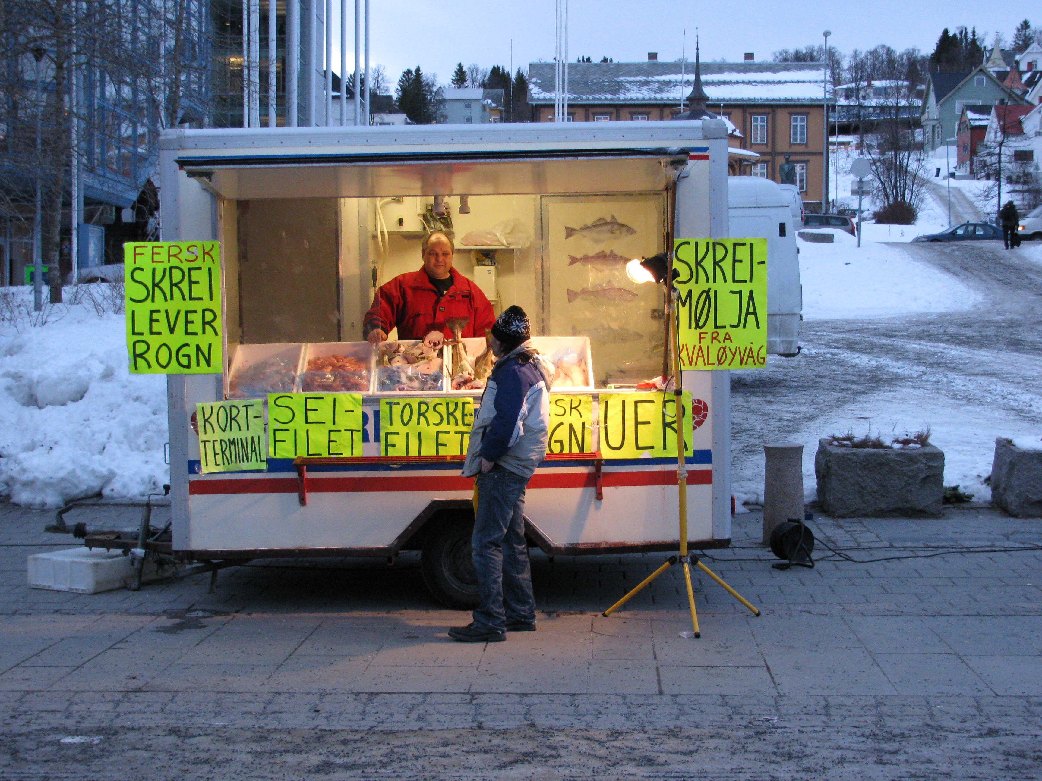
Skrei on offer at a fish stand in Arctic Tromso. (Pic I.Quaile)
This past winter, one of the favourite fish dishes being served up here in Germany was skrei, or Arctic cod. I had the feeling this was a new trend in this part of the world, and found myself wondering why there seemed to be more about and whether this could have anything to do with climate change and easier access to fish stocks which were further north before.
My research brought me very quickly to a campaign by Greenpeace, which is tackling this very issue. The website describes the increase in large-scale fishing as a “new threat” to the Arctic:
“Investigations by Greenpeace have shown industrial fishing fleets using destructive bottom trawling are invading previously pristine areas of the Barents Sea in the Norwegian Arctic.”
Greenpeace carried out an investigation focused on part of the Norwegian Barents Sea, including an analysis of vessel movements over three years to September 2015. I called up Frida Bengtsson in Norway, a Greenpeace campaigner and author of the report on the investigation, just published in March, entitled “This Far, no Further. Fishing in the Arctic.”
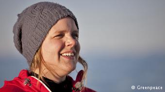
Greenpeace Arctic expert Frida Bengtsson. (Photo: courtesty of Greenpeace, for use on IceBlog)
She told me what she and her fellow conservationists had found out and why they are worried:
“What we’ve seen over the years is that the cod fishery that comes from Norway and provides markets in Europe and also travels to China, North and Latin America, has been expanding further north. So our research shows we are moving further and further north and into the Arctic. These areas have previously been covered by sea ice. Up to half the sea ice cover in the Barents Sea has disappeared since the 1980s”.
Given that the sea ice is disappearing anyway, I wondered whether it wasn’t a natural thing to catch some of the fish in the region:
“Research has just started to look at what’s below the sea ice on the seabed, and we’ve found things they haven’t found in other parts of the Barents Sea where extensive fishing has taken place for longer periods of time. For example, they have found sea pens, up to fifty years of age and up to two metres in height, which is very unique. So we’re calling for a precautionary approach, to not expand into these vulnerable areas but leave them alone and replace the protection the ice once offered with regulation.”
So in fact the problem is not the catching of a limited number of fish, but the effect of the large-scale industry on other species:
“We look at the size of the Barents Sea fishery. It’s very big. There are over 200 factory trawlers licensed to fish in the Barents Sea, and the footprint on the ocean environment is very large. We’re concerned that if this fishery is allowed to move into areas that haven’t been fished before, it will have a very negative impact. We’re mostly concerned about bottom trawling, where you use heavy trawl doors that can weigh several hundred kilos to put the net out and then drag it along the seabed with chains. The creatures on the seabed are very vulnerable and soft, and when they’re hit by these massive trawls they are destroyed.”
I asked what kind of preventive measures Bengtsson and her colleages would like to see?
“We think industry should move out of this area now, and we want to see Norway step up and protect these areas. We think that’s in line with what people generally want when it comes to Arctic protection. It would also mean Norway would meet their commitment towards the 2020 goals the world has set on protecting the world’s oceans.”
Arctic fishing: this far and no further? (Pic. I Quaile)
Alongside Norway, another major player in the region is Russia. I wondered if Greenpeace was also targeting Russian fishing?
“The Barents Sea fishery is shared between Norway and Russia. But most of the fishing activity actually takes place inside Norway. So we believe that working with the Russian fisheries, the markets that they sell to and the Norwegian government, we will find the right balance. But of course it’s also going to be important to see protection happening all over these vulnerable areas. And the Russians have already acknowledged the vulnerability for their part and have noted these as sensitive areas.
So far, the organization says it has had some interesting reactions both from consumers and the fishing industry to its report:
“It is very clear that people don’t consider that trawling for cod in the Arctic is something that is sustainable. And I think for the industry, it’s important to be at the forefront of sustainability. The indications we have from industry suggest they think it’s important and they want to take preventive measures. That is very encouraging, because I think it’s always good when we can work together. At the moment we’re seeing industry taking initiatives to find some solutions. That is interesting because it’s in line with the same pattern we’ve seen in other places, for example around the soya moratorium in Brazil. There, industry agreed to take preventive measures, to not expand soya production into the Amazon.”
Of course all this relies on pressure from consumers, using their purchasing power to make fishing companies do certain things, like stay out of certain areas. But can ordinary people find out fish is coming from an area of the Arctic it should not be coming from? Not so easy, it seems:
“Unfortunately, today that is very difficult for a consumer. But even so, it’s very important that you ask the question. If more and more consumers start asking where their fish comes from, that will lead to better labeling. We have seen initiatives in Europe where some fish is labeled, with catching area and the fishing boat, but of course that’s only a very small share. We would like to see that happening with the whole of the seafood market”.
Plenty of food for thought there, for anyone who eats fish as well as the industry that brings it from the ocean to the table.
Arctic fish and chips? Listen to my interview with Frida Bengtsson.
![]()
UNESCO acknowledges Arctic site
Tsá Tué, Courtesty of UNESCO
I registered that UNESCO had added 20 sites to its World Network of Biosphere Reserves during a meeting in Lima, Peru, in March. It escaped my notice, though, that one of them was in the Canadian Arctic. Thanks to @polarkatja on Twitter, I found out that Tsá Tué in Canada’s Northwest Territories was one of the new sites added to the list this year.
Northern lights over Tsá Tué, courtesy of UNESCO
I have been trying to find out the background, and exactly what that means for the area and the small community of people who live there.
The area includes Great Bear Lake, which is described by UNESCO as “the last pristine Arctic lake”. I would like to know exactly what criteria are used to come to that conclusion, but have drawn a blank so far. It is the largest lake located entirely in Canada, covering an area of 12,000 square miles, on the edge of the tree line and hundreds of miles from large centres of population. It’s on the Arctic circle, and is said to be covered with ice from late November to July. (Normally, or hitherto, I should probably say. Who knows how long that will be the case with the Arctic warming so fast).
According to the brief description I found on the UNESCO website, the Taiga that covers much of the site is important to wildlife species including the muskox, moose and caribou.
The only human residents in the site are the Sahtúto’ine (The Bear Lake People), a traditional First Nation Dene Déline people (whose name means “where the water flows”). Their community of 600 is established on the western shore of the lake, where they live off harvesting and limited tourism activity.
It seems they must have been doing a fine job combining ecological and environmental concerns, which is why they have been added to the UNESCO list. It seems fair to say the sites on the list are sort of best practice examples. These are sites of global importance to both biological and cultural diversity and, together, they represent an almost full range of the planet’s ecosystems, according to the UN body.

Very special: the Arctic biosphere (Pic: I.Quaile)
UNESCO Biosphere Programme
UNESCO created its “Man and the Biosphere Programme” (could it perhaps be time to switch to “Humankind…?”) in the 1970s as an intergovernmental scientific programme to improve the way people in different parts of the world live with their natural environment. Biosphere reserves are supposed to be places to learn about sustainable development and reconciling the conservation of biodiversity with the sustainable use of natural resources. Not an easy task.
The total number of biosphere reserves is now at 669 sites in 120 countries, including 16 “trans-boundary” sites. New reserves are designated each year by the International Coordinating Council of the Programme, which brings together elected representatives of 34 UNESCO Member States.
Biosphere, SDGs and Paris Agreement
This year, the 4th World Congress of Biosphere Reserves ended on 17 March in the capital city of Peru with the adoption of a Declaration and a new ten-year Action Plan.The Lima Declaration sets out to promote synergies between Biosphere Reserves and the United Nations’ 2030 Sustainable Development Goals and the Agreement on Climate Change, adopted in Paris in late 2015. Clearly, none of these agreements can function in isolation.
The text recommends a “wider and more active role” for local communities in the management of the reserves and the establishment of “new partnerships between science and policy, between national and local governance, public and private sector actors.” It also calls for greater involvement of citizen groups and organizations, notably indigenous and youth communities and stresses the need for collaboration with scientific institutions such as universities and research centres. It is not hard to see that remote communities in the Arctic are a fine place to implement this.
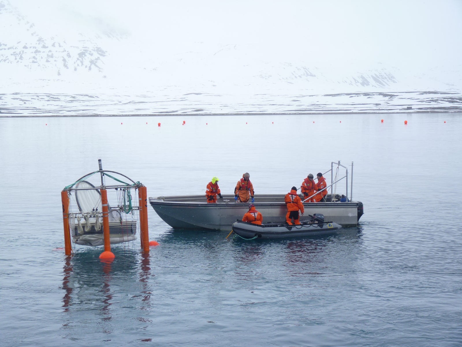
Remote Arctic communities rely on close cooperation. (First Nation guide standing bear guard for scientists) (Pic: I. Quaile)
Remote Arctic communities rely on close cooperation. (Pic: I.Quaile)
Threat from pollution and climate change
The Deline settlement is on the Great Bear Lake, near the headwaters of the Bear River. There is an ice crossing from Deline to the winter road on the far side of the Great Bear River. It seems there was an accident there just last month (March 2016) when a tank truck fell partway through the ice road, just a few days after the government had increased the allowed maximum weight limit to 40,000 kg (88,000 lb) on the road. The truck was loaded with heating fuel for the community, and the accident close to the community’s fresh water intake as well as a major fishing area. This would seem to illustrate the problems human settlement can cause for a key nature reserve area. In fact, it was possible to remove the fuel from the truck.
In terms of sustainable economic activities, today, the lake is a popular destination for people interested in fishing and hunting. Apparently, the largest lake trout ever caught by angling was caught here in 1995. One tourism website advertises the exclusivity of the region, saying only 300 anglers are allowed to fish every year.
In the past, though, mining has been carried out in the region, with uranium, silver and copper in evidence.
As well as climate change, possible mineral, oil and gas and mining exploration put additional pressures on the Lake region, says the UNESCO designation. “Local community elders and leaders worked for many years to develop environmental stewardships,” it says. Being added to the list is an acknowledgement of their commitment, and a way of increasing awareness of the continuing need to protect the area against these threats. The Yorkton News notes that the designation does not carry any legal protection for the land or restrict local decision-makers. “Its purpose, according to the Canadian Biosphere Reserves Association, is to share best practices and make it easier to conserve ecosystems without damaging residents’ ability to make a living on them”.
My congratulations to those who have succeeded in getting the region onto the UNESCO list. And I sincerely hope it will help you continue to restrict human influence on this key area and give encouragement to all those fighting to protect the Arctic on all levels. For that, though, they would have to know about it. So, Iceblog readers, now you have heard a little about it, let’s spread the word.
![]()
A letter from Svalbard’s dwindling sea ice
Greenpeace’s Larissa Beumer on board the Arctic Sunrise in the Spitsbergen archipelago. (Pic: Nick Cobbing, courtesy of Greenpeace).
The Arctic sea ice has reached its maximum winter extent for this season, and it was a record low, as reported here on the Iceblog.
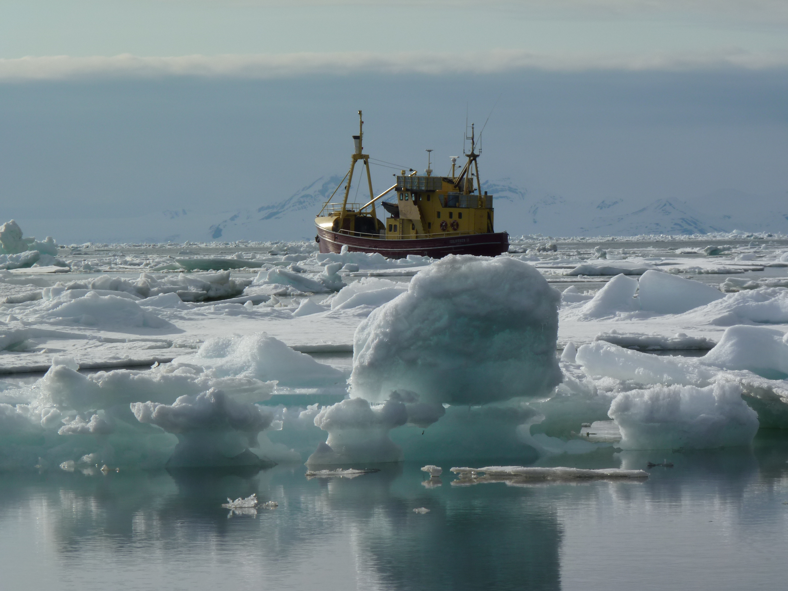
The Greenpeace ship the Arctic Sunrise is currently sailing in the Hinlopen Strait in the Arctic archipelago of Spitsbergen, checking out the ice conditions. Larissa Beumer is on board. I wanted to know what the ice situation was like, and she sent me this report. Photographer Nick Cobbing is also on board, so that means we can have a couple of his wonderful pics on the Iceblog. Thanks Nick and Greenpeace.
LARISSA BEUMER: “The ice conditions up here vary considerably from year to year. But this year is really extreme. On the west coast, almost none of the fjords are frozen up. The only exceptions are Dicksonfjord and Van Mijenfjord (and that one isn’t frozen up as far as it “normally” is).
On the east coast, there is no solid, stable ice, frozen through like it normally is. The ice there is moving a lot, it has often broken apart and been blown together again by the wind, so it’s not reliable. (And in general there is less ice there as well).
That means tourists and locals are very severely restricted in their activities. Dog sled and snowmobile tours normally mainly use the frozen-over fjords on the west coast. But this year, a lot of the usual main routes are not usable. That means some of the main destinations like Pyramiden (and Isfjord radio) can only be reached by taking major detours over the glacier systems. The east coast is another of the main destinations for snowmobile excursions. You can still get there quite well, but driving over the ice is more risky than usual. (One tourist group went through the ice this season, but nobody was hurt).
We sailed north along the west coast, then east along the north coast to the Hinlopen strait. We didn’t encounter any large stretches of ice masses anywhere on route. Normally, there is so much ice up there in winter that the route is only navigable from June or July.
Ice and open water. (Nick Cobbing, Greenpeace)
Actually, in “normal” years, the pack ice extends down from the north to the northern coast of Spitsbergen right into summer. Now it’s just the bginning of April and the pack ice only starts much further north. Sailing to Nordaustlandet is normally still challenging in August, because of the ice conditions. This year, it’s more or less navigable already. It used to be that expedition cruises billed as “Circumnavigation Cruises” had to change their route because the ice in the north was still so thick they couldn’t get through. I think at the moment you could already do a circumnavigation without any problems.
The ice we can see is mainly fresh ice, one-year ice, with open water here and there and a lot of breaks in it. As I said before, it’s moving about, breaks and is pushed together again. As far as we can see, the thickness is relatively varied, but there is a lot of thin ice amongst it.
The current ice chart from the Norwegian Meteorological Institute shows that a lot of ice from the south has been pushed into the Hinlopen Strait by the wind over the last two days. All this ice just wasn’t there a few days ago. It comes from the pack ice in the north-east, towards Franz-Josef-Land. So it’s not ice that formed here.
So, all in all, it seems fair to say that this year the ice conditions up here around Svalbard are catastrophic and way outside of normal variation. Oscar, our polar-bear guide, says he has never experienced anything as bad as this in the 13 years he has being living here.”
Larissa Beumer, on board the Arctic Sunrise, Spitsbergen.
![]()
Time to cruise the Northwest Passage?
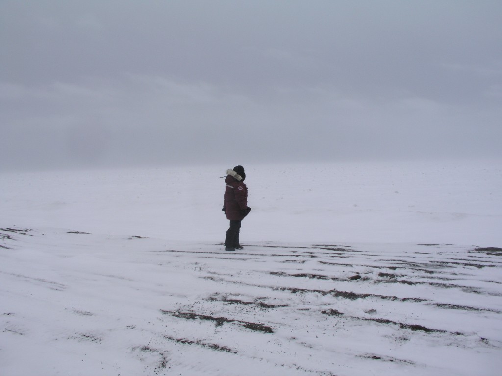
Melting ice, easier ship access (Pic: I.Quaile, Svalbard)
When I came across a story about a sold-out cruise through the North-West Passage planned for this summer on a giant liner carrying around a thousand passengers, I couldn’t help remembering a workshop I attended in Tromsö in 2014, organized by the Washington-based Arctic Institute, Center for Circumpolar Security Studies, within the framework of Arctic Frontiers. I wrote a story afterwards entitled “Are we prepared for a catastrophe in the Arctic?”. The answer I got from the experts was definitely a “no”.
One scenario the experts had worked through made a particularly strong impression on me. It envisaged a cruise ship hitting an iceberg off the coast of Greenland. It was not a happy picture. More people on the ship than in the communities on land, not enough helicopters, not enough accommodation, too little medical capacity, in short a lack of infrastructure to cope, all round.
“A whole new dimension”

Arctic expert Malte Humpert
With the “Crystal Serenity” set to head through the Northwest Passage this August, I decided it was time to call up Malte Humpert, Director of the Arctic Institute, to get his view on the safety aspects of this – and the current state of shipping activities in the Arctic. He said this was a whole new dimension, with almost 2000 people, including passengers and around 600 crew:
“There’s varying challenges, ranging from ice flows to uncharted depths to unpredictable waters, and so the range of risk is pretty high. Of course one can take precautions like ice pilots, having rescue equipment, icebreakers on standby, but you’re still in a very remote area with very small populations, very limited capacity. So the larger these vessels get, the larger the rescue effort would be required to get people safely to land”, Humpert told me.
Just a few years ago, the Costa Concordia disaster made it clear to a lot of people that modern cruise ship tourism has a lot more risks than we might have thought. So what if something like that took place in the remote regions around Spitzbergen or Greenland, where cruise tourism has been increasing, or even in the Northwest Passage? Humpert describes that as “a very horrifying scenario to think about.”
The Arctic is not the Med
“The Costa Concordia was – half a mile or a mile offshore in the Mediterranean, one of the most frequented cruise ship lanes in the world, and even there it took over 50 lives. In the Arctic, if you’re looking at a ship with 1800 people, first of all you’re not in the Mediterranean where waters are rather temperate, and where you have calm seas most of the time. In the Arctic most likely if something goes wrong it’s not going to go wrong on a nice sunny day with 5 degrees Centigrade, it’s probably going to go wrong in really harsh conditions, and suddenly you have a ship with 1500 to 1800 people, most of the people probably elderly, in frigid waters. The largest communities are probably smaller than the amount of people on the vessel itself and even if you have a helicopter or two on standby, how long is it going to take to get those people off the ship?”
Humpert also mentioned an incident involving the “Clipper Adventurer”, which ran aground in the Canadian Arctic on an uncharted rock in 2010. Fortunately, it happened in shallow water, just about three and a half meters deep, Humpert says. “They had the fortunate circumstances that they had time to get people into rubber dinghies and get them to shore. But of course if you’re looking at 1500 to 1800 people, that’s a whole different dimension”, he stressed again.
Of course certain precautions can be taken.
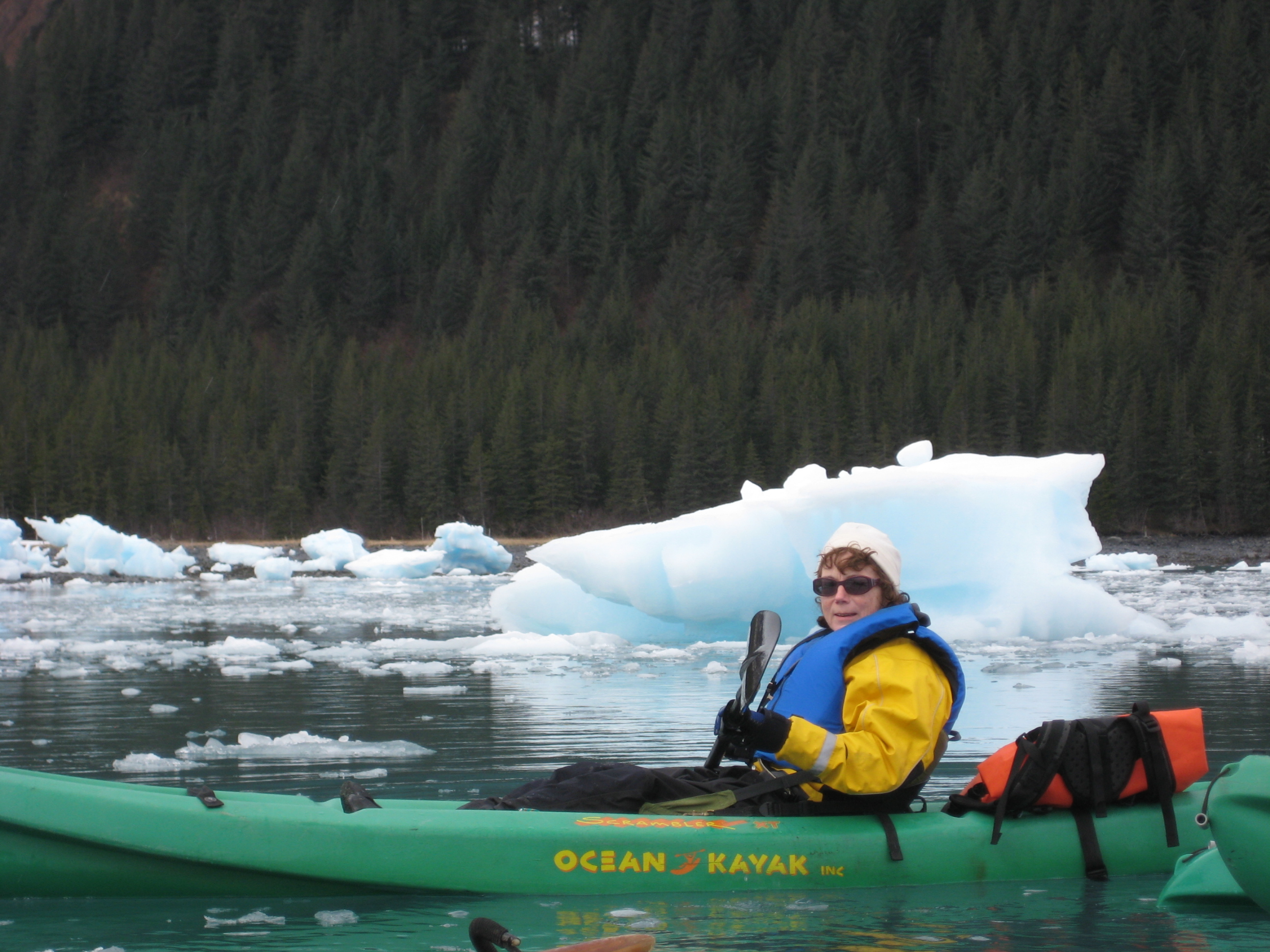
Cruising between the icebergs on Greenland’s west coast is a popular tourist attraction (I. Quaile, Ilulissat )
“The Danish coastguard along the west coast of Greenland requires cruise ships that go into Disko Bay and Iceberg Ally on the west side to go in pairs. They have to stay within a certain distance of each other when they go into ice-infested waters , just so there is actually a second floating platform that could take aboard these people if one of the cruise ships were to get into trouble. That in my opinion is one of the largest risks. Yes, you can have all the equipment on standby, you can have ice pilots along, but if something does go wrong and you need to get people off the ship quickly – the quickly part is the problem. And where do you put those people?”
Too big to sink?
With all of this, the problem is the huge size of today’s cruise ships. The thought of almost a thousand people converging on a small, remote Arctic community is one I personally find most unattractive. (That is an example of the British art of understatement.) Humpert stresses even when cruise ships go into regular ports, they have to take people ashore in groups.
With this first trip by a giant liner through the Northwest Passage, he reckons all possible precautions will be taken. But if the voyage works well, the danger is that more and more companies will want to follow suit and send large vessels up there.
“Then suddenly we might have lower budget cruises that don’t take the necessary precautions. With higher frequencies of these voyages, the risks definitely go up.”
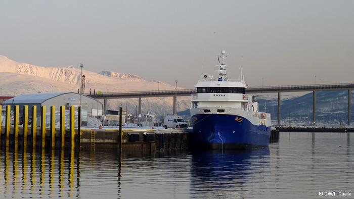
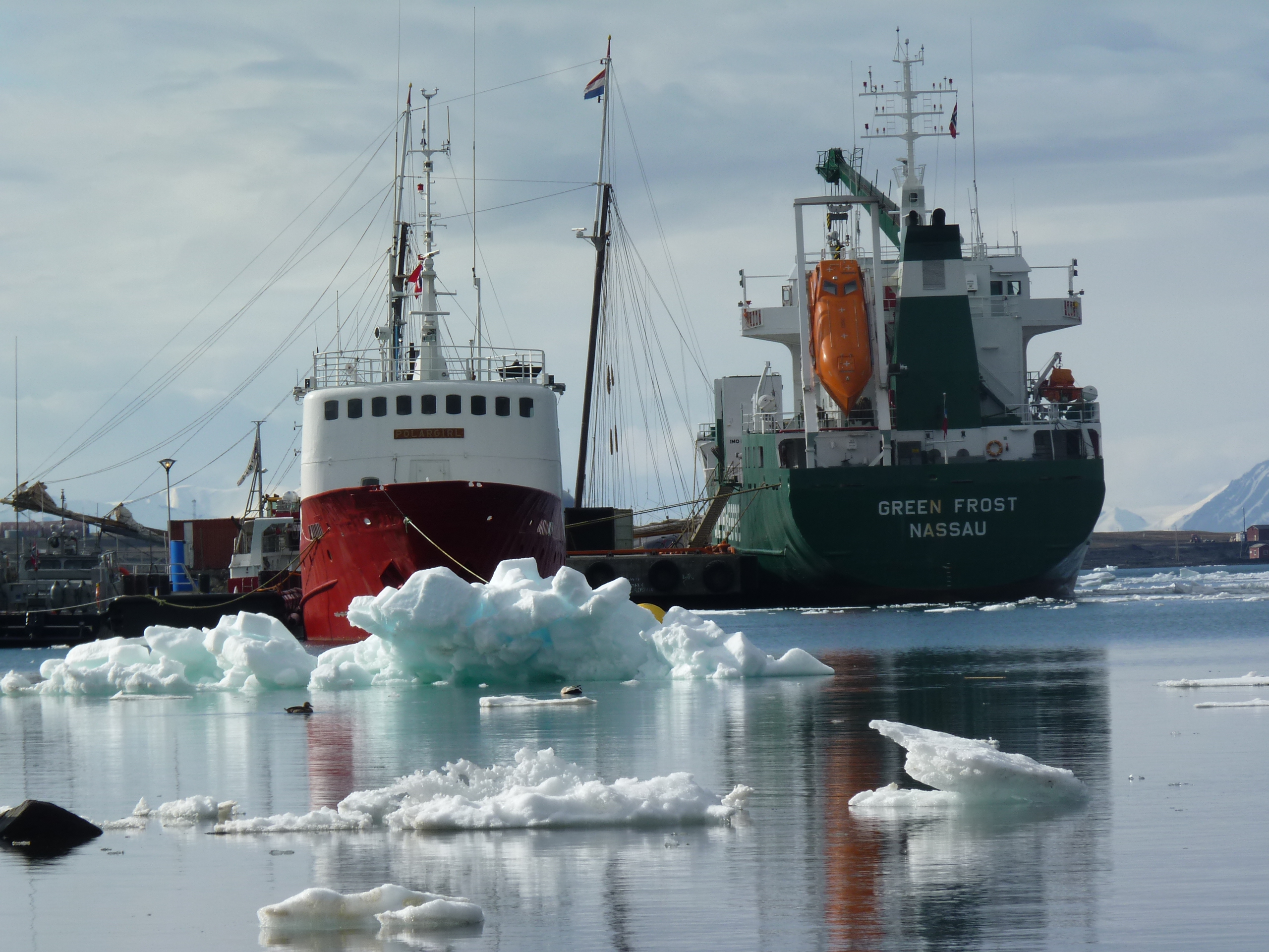
Tromso harbour (I.Quaile)
After this record warm winter and the huge decline in the amount of sea ice in some regions of the Arctic, my feeling is that people can be lulled into a false sense of security, when they hear about a “warming Arctic”. Malte Humpert agrees.
“Whenever people read in the headlines “ice-free Arctic,” it kind of makes it sound like the Arctic is now your local pool or the Mediterranean, suddenly. The Arctic is still a very harsh environment. Just because the ice is melting during the very short summer season and because of this “warming” – that does not mean its suddenly warm – it’s still a very harsh environment and you forget that small mistakes in the Arctic can rather quickly become very deadly mistakes.”
The highest risk, according to the Arctic expert, is that people forget that a cruise in the Arctic can be a dangerous endeavor. “If everything goes well it would probably be the experience of a lifetime, but small errors can quickly become insurmountable in the Arctic”.
Northwest Passage – international waters
When it comes to regulating shipping in the region, Humpert notes that the Northwest Passage is considered an international strait. That means as long as commercial vessels or cruise ships have international certificates of transit, they are allowed to go through.
“Canada can require that vessels abide by environmental regulations, that they take on board ice pilots, the coast guard can prescribe certain routes. If they see that some channels along the Northwest Passage have too much ice, they can require cruise ship to go a different route. But in general, the Northwest Passage is accessible to anyone. And of course the more activity you have, the harder it becomes to ensure that environmental regulations are abided by, that accidental spills or other mishaps don’t occur in the Arctic, and so its a very careful balance between allowing these first business ventures to head up into the Arctic and at the same time fulfilling these pledges we have seen over the last five to ten years that the Arctic is a pristine environment and should be protected”.
I am deeply concerned that climate change is opening the Arctic so fast that it’s hard for environmental protection and safety measures to keep pace. Humpert says it’s always difficult for policymakers to keep up in cases like this. But he is full of praise for the oil spill and search and rescue agreements drawn up by the Arctic Council. The question is whether the assets and infrastructure are there to implement them. Icebreakers???

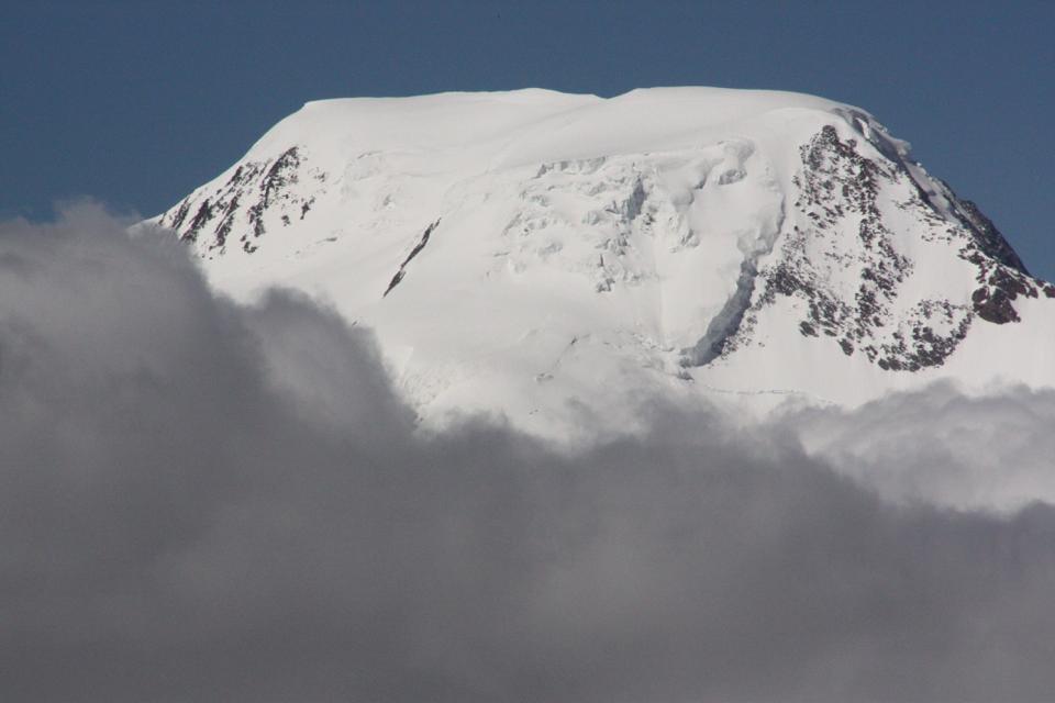
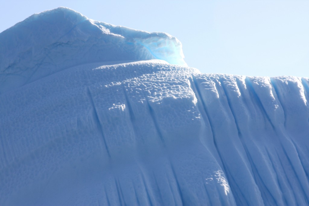
The tip of the iceberg (Pic: I.Quaile, Greenland)
The cheap fuel paradox
Aside from the issue of cruise ship traffic, international freight companies have used the Northern Sea Route along the Russian coast in recent years to transport gas and commodities, reducing the distance between Shanghai and Hamburg by around 6,400 kilometers compared with the Suez Canal Route. .
Humpert’s Arctic Institute recently conducted a study on the feasibility of the Northern Sea Route for different types of shipping, compared with the other route.
The study includes a calculator, in the form of an online tool, and allows for variables such as vessel size, ice class, distance, ice extent, fuel price, average speed, NSR fees, etc., to give a very detailed calculation of what type of transport would be economically feasible. The tool illustrates how cost curves change depending on the amount of ice, size of the vessel and the price of fuel. The calculator even takes into account ship hull designs to calculate costs.
“In 2012 and in 2013 we saw quite a bit of traffic going through the Northern Sea Route, about 70 ships in 2013 was the peak. That’s still very small compared what goes through the Suez Canal, where we see around 16, 17, 18,000 ships passing through a year. What our study in cooperation with the Copenhagen Business School Maritime Center shows, is that the key factor is fuel prices. So if fuel prices are very low then those shortcuts don’t really pay dividend for shipping companies”, Humpert told me.
I was quite shocked by one fact he drew my attention to. At the moment oil prices are so low that a lot of shipping companies are choosing not to go through the Suez Canal any more. Instead, they take the long way round, choosing to go around the Cape of Good Hope at the southern tip of Africa. Humpert says this adds 3500 miles to their journey and about 10 or 11 days of sailing time. It seems that they still save about 350,000 dollars on average by not paying transit fees for the Suez Canal.
Shipping in icy waters is never completely risk-free. (Svalbard, Pic: I.Quaile)
The environmental and climate costs of the extra fuel burned clearly just do not feature!
This also has implications for the Northern Sea Route, says Humpert.
“You need special insurance, you need ice breaker escorts which are quite costly, you need to pay transit fees to the Northern Sea Route Administration. So it’s an interesting calculation”. The experts come to the conclusion that sometimes, for some shipping operators, at some time of year or in a given year when certain conditions are right, it may be economically feasible to go through the Northern Sea Route. At other times it may be more prudent or more economical to use the Suez Canal.
“Currently, the Northern Sea Route is a very specialized shipping environment. Very few operators have looked at it, and those that tried in 2013 haven’t really come back. Last year we only saw 19 ships go through the Northern Sea Route and very, very limited cargo volumes. It will be interesting to see what happens this year as we have a new record ice low in January and February. It could be that we are heading for that kind of ice-free season where two or three months of the year you really have a practically ice-free Northern Sea Route, which would start to alter the economic calculations. But the fuel price would certainly have to be higher”.
So we seem to be caught in some kind of a vicious circle. If the fuel price stays low, the Arctic will be saved for some time from increased freight traffic along the Northern Sea Route. But the price is increased emissions from the burning of all that extra cheap fuel. And that, as we know, heats up the climate further and melts ice, making it easier for shipping of whatever form to head into Arctic waters. If the fuel price goes up, companies will be keener to make use of the shorter Northern Sea Route. Unless there is some kind of miraculous, unexpected planetary cool-down somewhere in the pipeline, I can only conclude that increased shipping and the risk of a potentially catastrophic oil-spill or other incident in Arctic waters are only a matter of time.
![]()


Feedback