


Search Results for Tag: POGO
Sharing Arctic ocean data
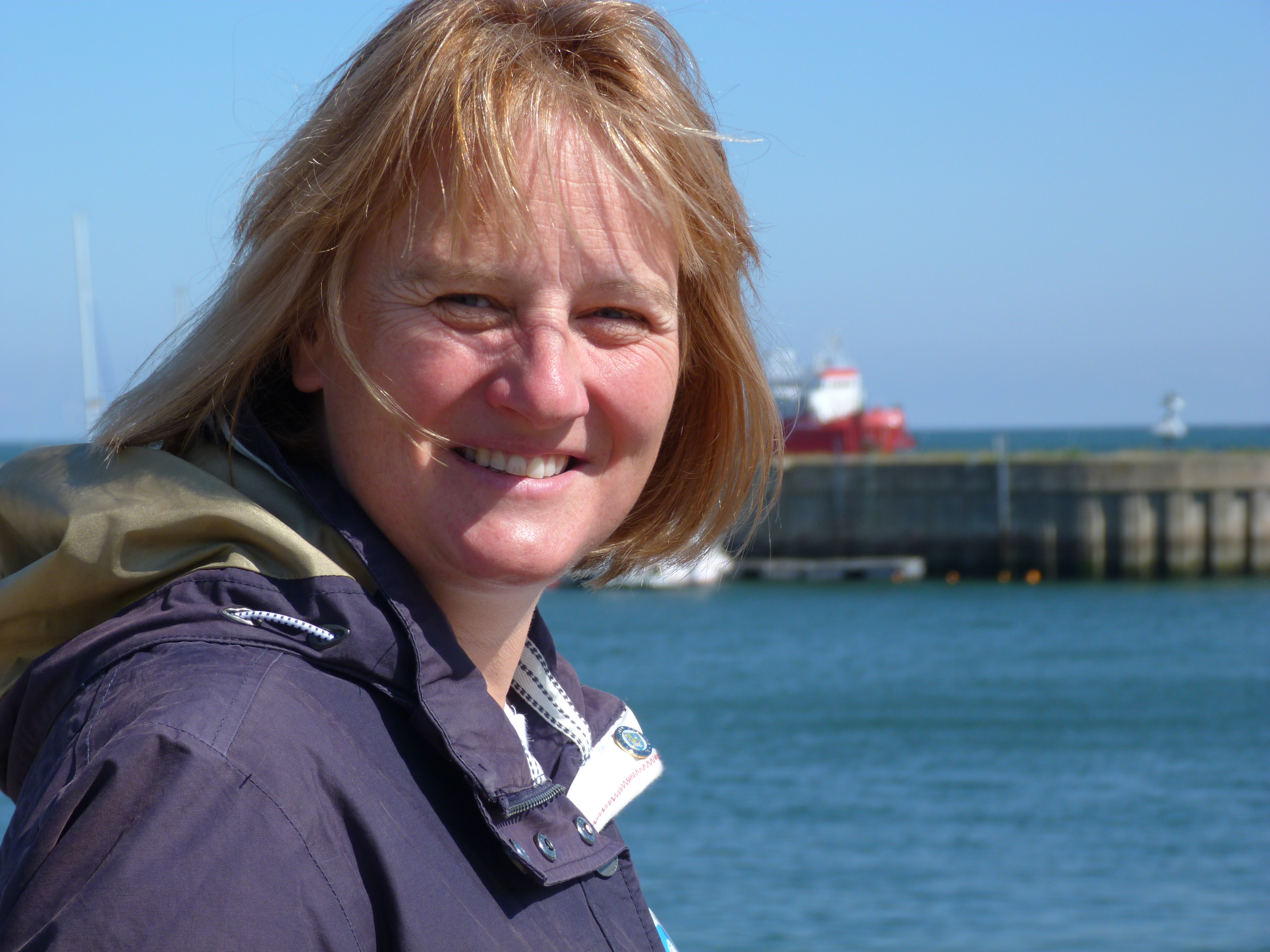
Karen Wiltshire on Helgoland (pic: I.Quaile)
This week I had an interesting conversation with Professor Karen Wiltshire, who is deputy director of Germany’s Alfred Wegener Institute for Polar and Marine Research. Last time I talked to Karen was on the German North Sea Island of Helgoland, where she is also head of AWI’s Biological Institute. “Jellyfish and chips” is the theme of the article I wrote then about the institute’s research into the impacts of climate change on the North Sea. Tasty?
This time, I was interviewing her on a wider issue, which also has direct relevance to the Arctic. She has taken over the chair of the “Partnership for Observation of the Global Oceans”, or POGO for short, for the next two years. The Directors of the group just had their annual meeting in Tenerife, on the Canary Islands. POGO, Karen told me, is one of the oldest international organizations set up to link partners interested in observing the world’s oceans. It includes all the world’s key marine institutes, including AWI, Woods Hole, Scripps and institutes from China, Korea and Russia.
The directors meet once a year to discuss issues which can be tackled in a coordinated manner. This includes things like research vessels and monitoring marine protected areas.
Exchanging Arctic Data
But one issue which could bring a lot of benefits in particular to scientists working on the Arctic, is the decision taken at the Tenerife meeting to set up a new platform to link up all the long-term ocean data sets in the world. At the moment, Professor Wiltshire says scientists often don’t know of the existence of a lot of data:
“Some of it is very high quality. For example in northern Russia, in the Arctic Ocean, there’s a lot of data that’s not so easily accessible and available. But if our Russian partners just put a flag on the map saying we have this data, and you can come to us if you need it, it would already help us scientists a lot.
“It’s kind of like making a giant inventory of what’s out there, and of what has been measured for the last hundred years. The next step would be to link important oceans with one another, the Arctic and the Atlantic, and look how they have changed relative to one another, and set up hydrographic models linking these oceans. Those models already exist, but with a better data base we might be able to check the rigor of these models, also relative to the melting ice caps. So the first step is to inventorize what’s out there, and then link data sets, variables and ocean areas.”
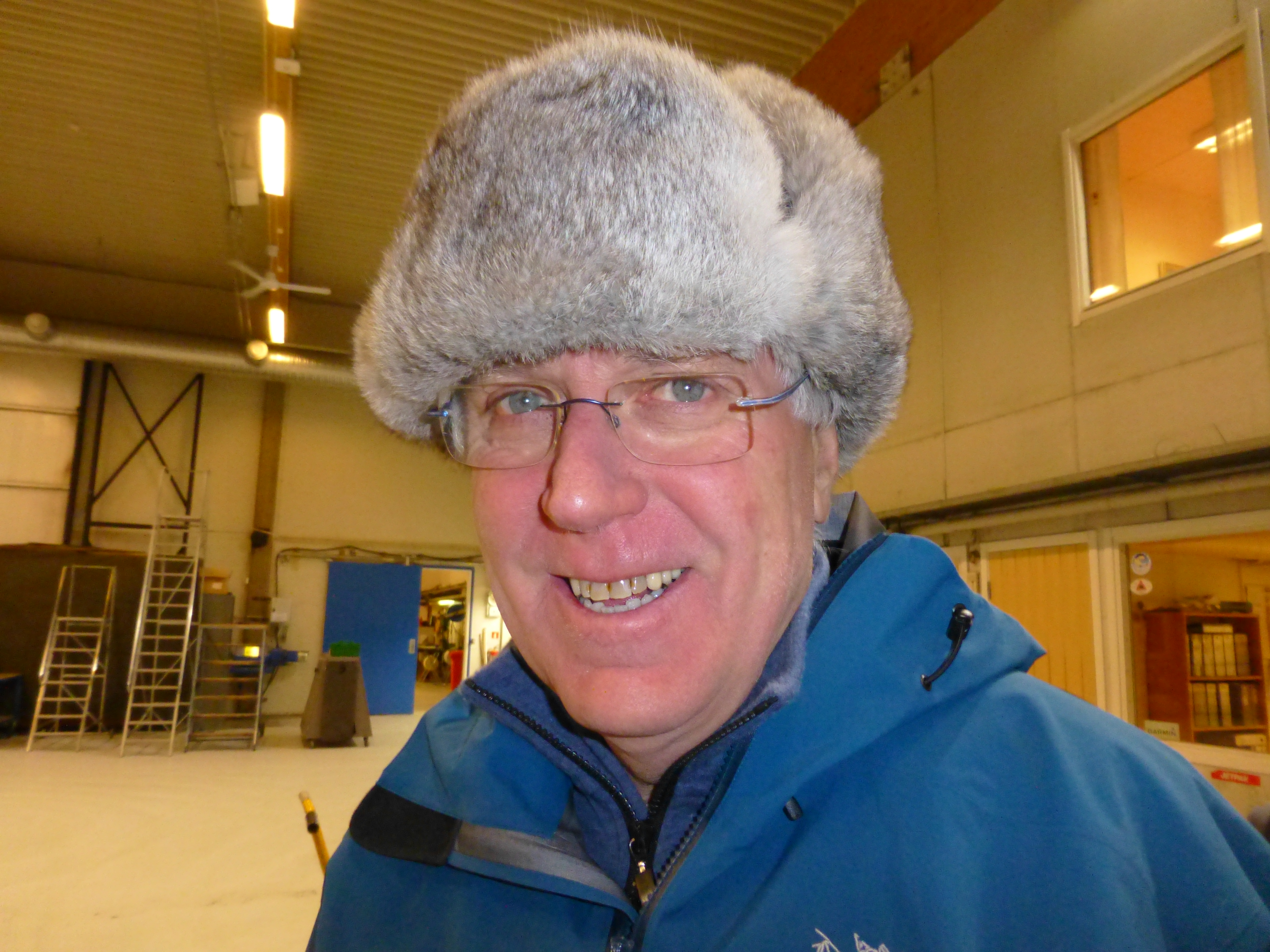
Stig Falk-Petersen in the hangar at Longyearbjen airport. ((I.Quaile 2015)
Russian data is key
This brings me back to conversations I had on my recent Arctic expedition on the RV Helmer Hanssen. Stig Falk-Petersen, the cruise leader, from Norway’s Arctic University of Tromso, stressed to me just how much research on the Arctic has actually been conducted by Russian scientists. In the past, this was rarely translated, so not available to the majority of the international research community. Things have changed since the end of the Soviet Union, Stig told me, and it became easier for western scientists to work with their Russian colleagues.
“And what we discovered then, was that the Russians know all about our famous polar explorers Nansen and Amundsen, but we new nothing about the Russians. Yet the Russians have a fantastic record of science in the Arctic. Since 1937 they have had these drifting stations, they flew out from Novaya Zemlya and landed on North Pole with four engines, Antonov planes, and established an ice camp. And they drifted out the Fram Strait. They have done this nearly every year until recently. So all we know about the Arctic , the topography, situation of water masses, animal life, benthic life, is actually based on Russian expeditions. And this is still poorly known in the west.”
Modern ice drift
Stig is a great fan of a current drift venture, the Fram 2013-2014 expedition, which is more or less repeating that of the first Russian drift station.
The Norwegian scientists Yngve Kristoffersen and Audun Tholfsen are living and working on their ice drift station, including the hovercraft “Sabvabaa”. It was taken and placed on the ice by the AWI’s research vessel the Polarstern, demonstrating once more the benefits of international cooperation in science. The two men have been taking sediment cores to learn about the polar environment more than 60 million years ago. Since August 2014 they have moved northwards along the submarine Lomonosov Ridge. You can follow their progress online at Geonova. Let me just quote a little from their latest diary:
“The length of Lomonosov Ridge ( ̴1.800 km) is roughly equal to the length of Norway. We have now spent 5 months drifting over the Lomonosov Ridge and been able to get new scientific data over a section which constitutes 1/4 of the total length of the ridge. Our drift shows a pattern with periods of very slow ice drift interrupted by events of fast drift. The fast drift is forced by cells of low surface air pressure moving in to the Arctic Ocean over the Canadian Arctic Islands as lately or through the Fram Strait. As they move in, the wind direction drives the ice to the west. These events, unpredictable on a time scale of months, make it impossible to estimate with some degree of confidence where we will be when it is time for Audun to rotate off in late March/April or when we will approach the ice edge in the Fram Strait.”
The data recorded by the scientists is transferred automatically to the Nansen Centre in Bergen. Stig tells me it includes some spectacular underwater videos going right down to the sea bottom, 2000 metres. He and his colleagues are eagerly awaiting a look at the data.

Data from polar orbit satellites is received and processed at KSAT in Tromso. I was able to visit in January. (Pic. I Quaile)
These days, modern technology, from satellite monitoring to a network of buoys moored around the world’s oceans, some with remote data transmission, provide an increasing amount of new data to be shared and analysed. But to understand properly how the oceans are changing, we need data from the past to compare it with. This brings me back to my interview with Karen Wiltshire.
I asked her whether there wasn‘t a danger that research is not able to keep up with the speed of change? Here is her answer:
“There’s very much the danger of that. One of the most important things is having consistent long-term observation. We need to link up old observations, be it whether somebody stood at the end of a dock and measured salinity for a time, in the late 1800s or so, through to now, where we have modern ways of measuring. These things need to be linked and compared to each other to find out whether what you are looking at is related to a real trend or shift, or is just an anomaly in the system. One has to be very mathematically oriented and creative in doing so. Very often, for example in the Wadden Sea, (off the coasts of Germany, Denmark and the Netherlands), we even use historical anecdotes written down in the annals of churches, for example, to look at how the weather was at a certain time, whether we had an ice winter or not. The more information we have from the past, the better it is. Then we’re in a better position to interpret modern-day data, which might be of very short duration in comparison to the long sets of data out there.”
So the new project to link the world’s oceanic data could be a very important step forward. Here’s to success for the latest POGO venture!
You can listen to the interview with Karen Wiltshire on this week’s Living Planet programme, or by itself here.


![]()


Feedback