Record permafrost erosion in Alaska bodes ill for Arctic infrastructure
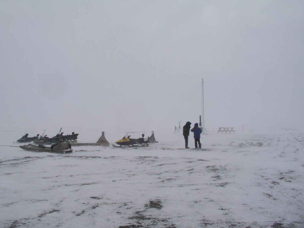
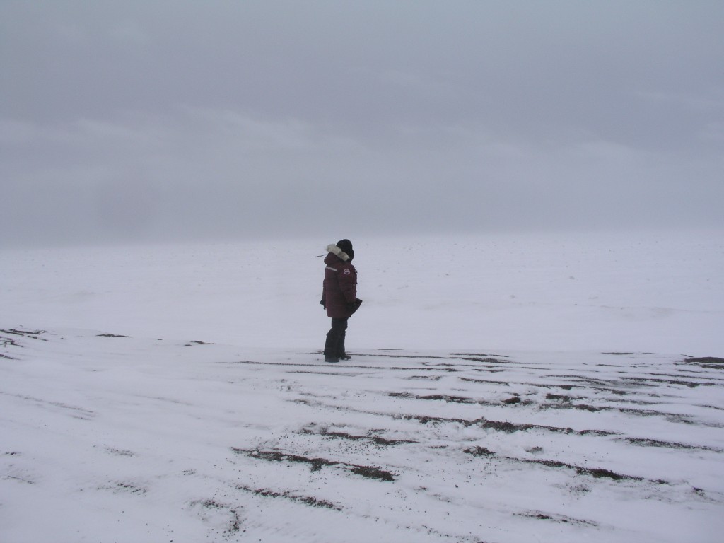
At Point Barrow, the northernmost point in the USA, a whole village was lost to erosion (Pic: I.Quaile)
Sitting in my office on the banks of the river Rhine, I am trying to imagine what would happen if the fast-flowing river was eating into the river bank at an average rate of 19 metres per year. It would not belong before our broadcasting headquarters, the UN campus tower and the multi-story Posttower building collapsed, with devastating consequences.
Fortunately, Bonn is not built on permafrost, so we don’t have that particular concern.
Record erosion on riverbank
The record erosion German scientists have been measuring in Alaska probably hasn’t been making the headlines because it is happening in a very sparsely populated area, where no homes or important structures are endangered.
Nevertheless, it certainly provides plenty of food for thought, says permafrost scientist Jens Strauss from the Potsdam-based research unit of the Alfred Wegener Institute for Polar and Marine Research (AWI). He and an international team have measured riverbank, erosion rates which exceed all previous records along the Itkillik River in northern Alaska. In a study published in the journal Geomorphology, the researchers report that the river is eating into the bank at 19 metres per year in a stretch of land where the ground contains a particularly large quantity of ice.
“These results demonstrate that permafrost thawing is not exclusively a slow process, but that its consequences can be felt immediately”, says Strauss.
With colleagues from the USA, Canada and Russia, he investigated the river at a point where it cuts through a plateau, where the sub-surface consists to 80 percent of pure ice and to 20 percent of frozen sediment. In the past, the ground ice, which is between 13,000 and 50,000 years old, stabilized the riverbank zone. The scientists, who have been observing the location for several years, demonstrated that the stabilization mechanisms fail if two factors coincide. That happens when the river carries flowing water over an extended period, and where the riverbank consists of steep cliff, which has a front facing south, and is thus exposed to a lot of direct sunlight.
Minus 12C average no safeguard
The warmer water thaws the permafrost and transports the falling material away, and in spite of a mean annual temperature of minus twelve degrees Celsius, summer sunlight makes it warm enough to send lumps of ice and mud flowing down the slope, according to Michail Kanevskixy from the University of Alaska Fairbanks, lead author of the study.
Overall, between 2007 and 2011, the cliff – which is 700 metres long and 35 metres high – retreated up to 100 metres, resulting in the loss of 31,000 square metres of land area. That is a large area, around 4.3 football fields, the scientists calculate.
In August 2007, they also witnessed how fissures formed within a few days, up to 100 metres long and 13 metres deep.
“Such failures follow a defined pattern”, says Jens Strauss. “First, the river begins to thaw the cliff and scours an overhang at the base. From here, fissures form in the soil following the large ice columns. The block then disconnects from the cliff, piece by piece, and collapses”.
Infrastructure under threat
Although these spectacular events happened far from populated areas and infrastructure, the magnitude of the erosion gives cause for much concern, given the rate at which temperatures are increasing in the Arctic. The scientists want their information to be used in the planning of new settlements, power routes and transport links. They also stress that the erosion impairs water quality on the rivers, which are often used for drinking water.
But what about those areas of the High North where there are settlements and key infrastructure? Russia is starting to get very worried about the effects of increasing permafrost erosion.
Last month the country’s Minister of Natural Resources, Sergey Donsjkoy, expressed grave concern. The Independent Barents Observer quoted the Minister as saying, in an interview with RIA Novosti, he feared the thawing permafrost would undermine the stability of Arctic infrastructure and increase the likelihood of dangerous phenomena like sinkholes. Russia has important oil and gas installations in Arctic regions. Clearly, any damage would have considerable economic implications. There are also whole cities built on permafrost in the Russian north.
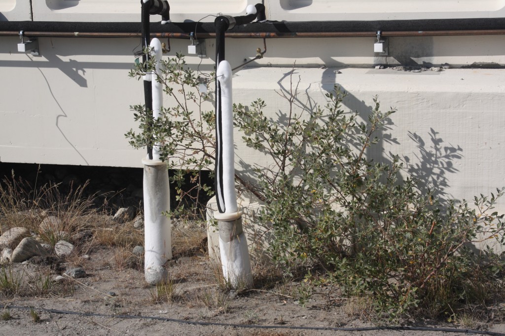
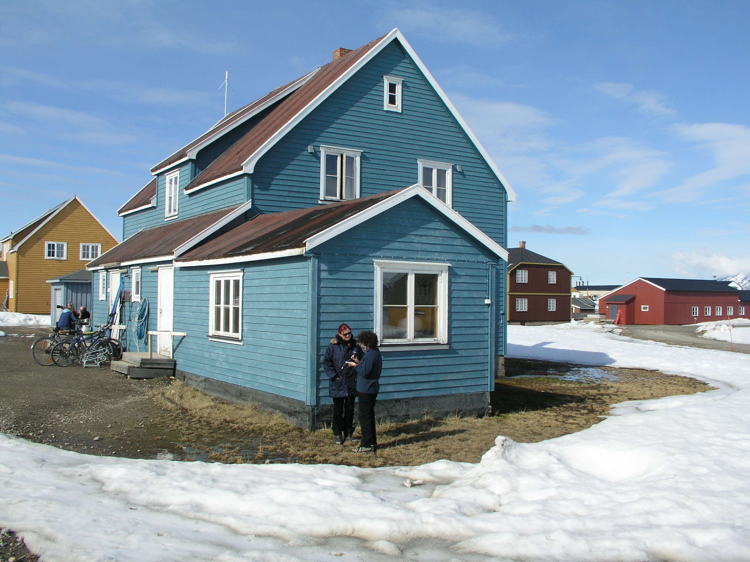
System to cool the foundations of a building on permafrost in Kangerlussuaq, Greenland (pic: I.Quaile)
High time to adapt
In 2014, I interviewed Hugues Lantuit, a coastal permafrost geomorphologist with the Alfred Wegener Institute for Polar and Marine Research, about an integrated database on permafrost temperature being set up as an EU project. He told me it would be very hard to halt this permafrost thaw, and stressed that permafrost underlies 44 percent of the land part of the northern hemisphere.
“The air temperature is warming in the Arctic, and we need to build and adapt infrastructure to these changing conditions. It’s very hard, because permafrost is frozen ground. It contains ice, and sometimes this ice is not distributed evenly under the surface. It’s very hard to predict where it’s going to be, and thus where the impact will be as the permafrost warms and thaws”.
I remember being shocked to see that people in Greenland were having to use refrigeration to keep the foundations of their buildings on permafrost stable. The scale of the problem is clearly much greater in cities like Yakutsk.
Then, of course comes the feedback problem, when thawing permafrost releases the organic carbon stored within it. Let me give the last word to Hugues Lantuit:
“This is a major issue, because it contains a lot of what we call organic carbon, and that is stored in the upper part of permafrost. And if that warms, the carbon is made available to microorganisms that convert it back to carbon dioxide and methane. And we estimate right now that there is twice as much organic carbon in permafrost as there is in the atmosphere. So you can see the scale of the potential impact of warming in the Arctic.”





Feedback